top of page

Resources
Search
Global ocean surface and subsurface temperature forecast skill over subseasonal to seasonal timescales
Smith, GA (2024). Subseasonal to seasonal forecasts of ocean temperatures, including extreme events such as marine heatwaves, have demonstrated utility in informing operational decision-making by marine end users and managing climate risk. Verification is critical for effective communication and uptake of forecast information, together with understanding ocean temperature predictability.
Clustering tropical cyclone genesis on ENSO timescales in the Southwest Pacific
Tu’uholoaki, M (2023). Tropical cyclones (TCs) as a natural hazard pose a major threat and risk to the human population globally. This threat is expected to increase in a warming climate as the frequency of severe TCs is expected to increase. In this study, the influence of different monthly sea surface temperature (SST) patterns on the locations and frequency of tropical cyclone genesis (TCG) in the Southwest Pacific (SWP) region is investigated.
Quantifying mechanisms responsible for extreme coastal water levels and flooding during severe tropical cyclone Harold in Tonga, Southwest Pacific
Tu’uholoaki, M (2023). The South Pacific region is characterised by steep shelves and fringing coral reef islands. The lack of wide continental shelves that can dissipate waves makes Pacific Island countries vulnerable to large waves that can enhance extreme total water levels triggered by tropical cyclones (TCs). In this study, hindcasts of the waves and storm surge induced by severe TC Harold in 2020 on Tongatapu, Tonga’s capital island, were examined using the state-of-the
Tropical cyclone climatology, variability, and trends in the Tonga region, Southwest Pacific
Tu’uholoaki, M (2022). The focus of several past tropical cyclone (TC) studies in the Southwest Pacific (SWP) had been primarily at the regional scale, with little or no attention to the local-scale TC activity (i.e., at the country level). With the growing coastal population in the South Pacific Island countries, as well as increasing threats from and exposure to climate extremes mostly affecting vulnerable communities, examining TC-related risks at the country level is more
Lessons from the Pacific Ocean Portal: building pacific island capacity to interpret, apply, and communicate ocean information
Powers, M (2019). The need for improved access to ocean observations for Pacific Island countries (PICs) and territories has been increasingly recognized over the last decade, particularly in the face of a changing climate.
COSPPac2 Highlights – PSLGM
Pacific Sea Level and Geodetic Monitoring (PSLGM) - Ensuring a Continuity of High-Quality Long-Term Sea Level Data for the Pacific. The...
COSPPac2 Highlights – SPP
Seasonal Prediction Project – SPP Enhancing Climate and Ocean Monitoring and Prediction Services. The Seasonal Prediction Project...

PSLGM 30 Years - Kiribati video
The Pacific Sea Level and Geodetic Monitoring (PSLGM) project operates under the Climate and Oceans Support Program in the Pacific. It is...

Monitoring sea level across the Pacific
The Pacific sea-level monitoring network consists of tide monitoring facilities in 12 countries across the Pacific. Watch this video to...

Know your Ocean
A new tide gauge was installed and launched by the Tuvalu Minister for Communication & Transport, Hon. Monise Laafai with support from...

Tuvalu Tide Gauge
A new tide gauge was installed and launched by the Tuvalu Minister for Communication & Transport, Hon. Monise Laafai with support from...

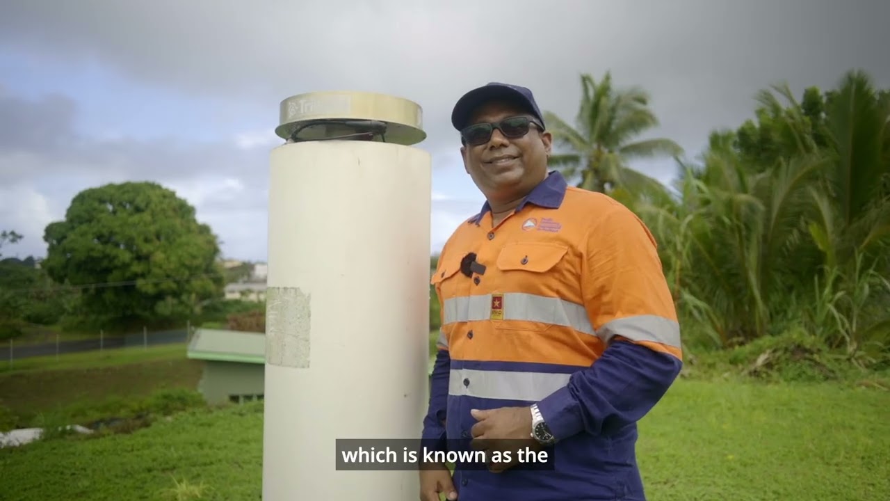
Tonga Tide Gauge
With support from the Australian Government, the Tongan Government, and the Pacific Community (SPC), a tide gauge has been recording sea...

bottom of page